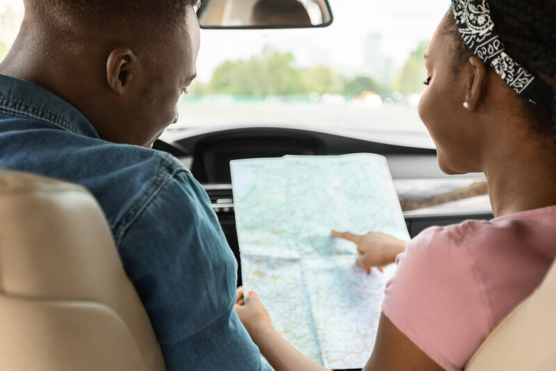
When was the last time you used a paper map or road atlas to get directions to where you’re going or orient yourself to where you’re at along your route? If you’re like most of us, it’s been a while.
There was a time when getting a road atlas was a standard “rite of passage” for teens who got their driver’s license. Even when digital maps came into being, most of us still printed our Mapquest or Google Map directions to have a hard copy.
Now, most people rely 100% on their phones, and this isn’t the safest bet.
As roadside assistance professionals, we see all too often how important it is for drivers to have a physical map or road atlas in the car. Here are five reasons why:
When lost, especially at night or in an unfamiliar neighborhood, the most dangerous thing you can do is to drive around aimlessly looking for a business or gas station and then get out of your car to ask for directions. Those who are lost are incredibly vulnerable. Your priority should always be safety- for yourself and your passengers.
Road atlases and local maps not only help you find your way back to your designated path, but they also highlight important markers like police stations or major grocery stores with well-lit parking lots, which are safer bets for asking for directions or getting out of your car.
It can be a jarring feeling to learn you’ve left your phone at home or a previous shop, restaurant, or bar. Without that “digital map,” you may find you don’t know where to go - and you also don’t have a phone to contact someone who can give you directions.
This brings us back to #1: Keep safe when lost. By having your own physical map on hand, you can rewrite the directions you need to get you to your final destination.
We take it for granted that there will be cell service everywhere. Unfortunately, this is not the case, and once you lose data, you’re at risk of losing your map or directions if they weren’t previously downloaded for offline access.
Your hardcopy map or road atlas is there to help you out. In addition, you’ll be able to recreate a new set of directions by using the clear routes provided in the graphics - and there’s no cell service necessary.
Similarly, a road atlas in your car never runs out of batteries, nor does it need a charger. If your phone battery gives up on you, your map will come to the rescue without any delay.
There are several snafus that can happen along your journey that make you wish you had a road atlas. First and foremost are the often inaccurate or misleading directions given by phones. Google and other map services rely on input from users to correct their misdirections or to let them know if a road has a toll booth, is private, or is not built yet (Yes! That happens!).
In that case, an accurate map or road atlas is your best resource to re-route yourself. Taking time to study a “paper map,” which gives you “big-picture perspective,” has additional bonuses as well, such as:
None of these features are typically available from digital maps if you just go with the “shortest route” they recommend.
Bonus Tip: Re-Route Yourself From Pictoral Memory
There is a different way your brain engages when it’s looked at a hardcopy of a paper map with the “big picture” view of the route. Visual learners are particularly surprised because if you miss an exit or get a little off the original track, you can often find your way back or create a new route because you already studied the map and have a more “real” perspective about where you are in geographic space. This doesn’t happen when you look at a small, digital, “close-up” map version that is fed to you one step at a time.
The Team at J&T Towing hopes you visit your local AAA office (where maps are free) or purchase a state- or regional road atlas to keep you headed in the right direction.